PROJECT UAS Underground
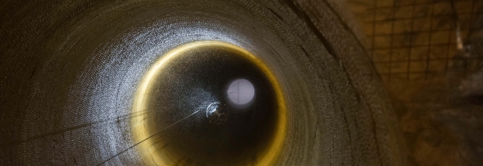
In many cases little is known on the spatial extent and the stability of historic underground structures built by miners in past centuries. Direct inspection by specialists is often unfeasible due to limited space, restricted accessibility and significant safety risks. Modern mining also creates underground structures (e.g. for stoping, ventilation, ore-transport) that cannot be directly inspected by humans. So far few solutions to this problems exist, yet emerging UAS technologies could represent an intriguing alternative with high potential for innovation.
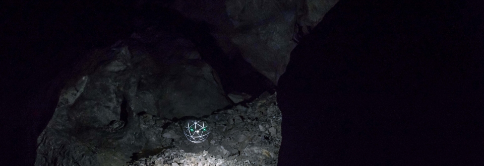
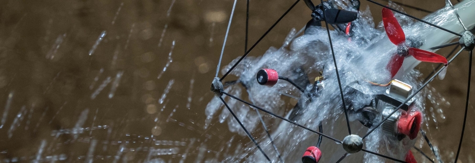
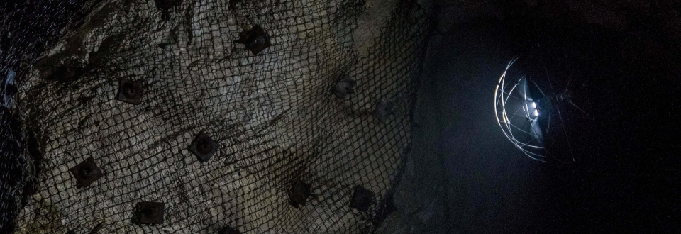
To investigate the potential drone-based underground applications GEORESEARCH, GC Mining and Airnail have initiated the research project UAS Underground. The project is funded by EIT RawMaterials and aims at the development of UAS services for underground inspections and 3D modeling of inaccessible underground structures. Herein the project consortium specifically focuses on the potentials and limits of COTS (commercial off-the-shelf) products.
Within UAS Underground cost-effective drone applications with lighting and optical sensors are used. All tested systems are required to operate reliably without GNSS support. Research activities will focus on the range of wireless operation and optimal combinations of lighting and optical sensors for data acquisition.
PROFILE
Contribution GEORESEARCH: UAS-Pilot, UAS-Developement, scientific supervision
Project Partners: GC-Mining (Lead), Airnail e.U.
Project Duration: 11/2020 - 05/2021
Funding: Start-up- & SME-BoosterProgramm des EIT RawMaterials (H2020)


