METHODS & TECHNOLOGIES
The quantitative assessment of interactions between complex systems requires a broad range of methods. For the monitoring of surface, subsurface, and atmospheric processes, we therefore rely on a variety of complementary technologies that reflect our extensive geoscientific expertise. Our range of applications extends from small-scale geotechnical in-situ measurements to geophysical subsurface investigations and large-scale satellite-based deformation analyses.
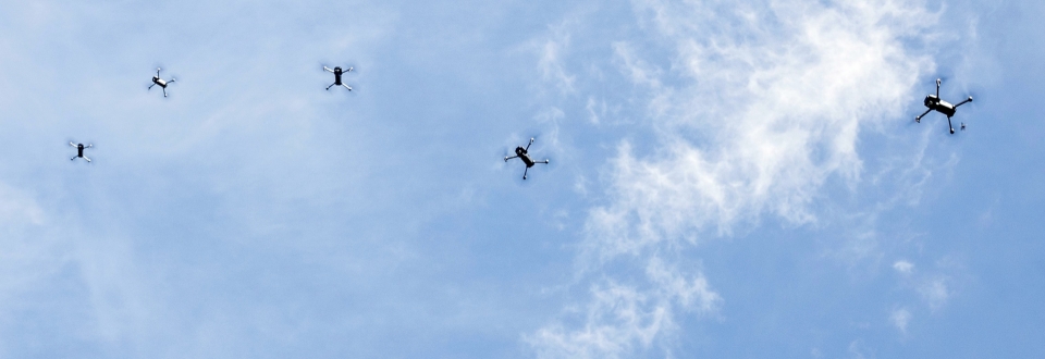
Unmanned Aerial Systems (UAS)
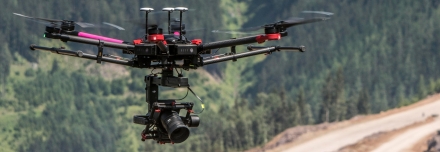
We are operating versatile UAS (unmanned aircraft systems) suitbable - even on short notice - for inspections and photogrammetric recordings with centimeter accuracy.
Hydrogeological Methods
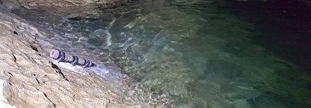
For the acquisition and analysis of hydrological insitu-parameters we use pressure probes, loggers, pumping equipment, and instruments for the recording of hydrochemical properties.
Terrestrial Laserscanning
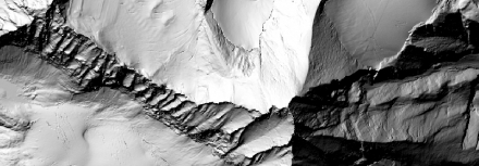
For the acquisition of terrain surface data and the detection of surface changes we use high-precision shortrange-, midrange- and longrange-laserscanners.
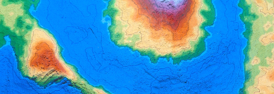
Remote Sensing
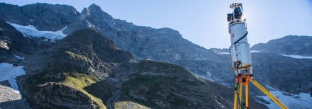
Depending on study site and research need, spatial data is required on different scale levels. We use the entire remote sensing spectrum, from terrestrial recordings to satellite data.
Applied Geophysics
We use electrical resistivity tomography, georadar in different frequency ranges, as well as active and passive seismic techniques to conduct non-destructive 2D investigations of the subsurface.
Differential GPS
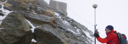
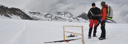
Using Differential GPS we conduct high-precision point and profile measurements corrected in real-time.
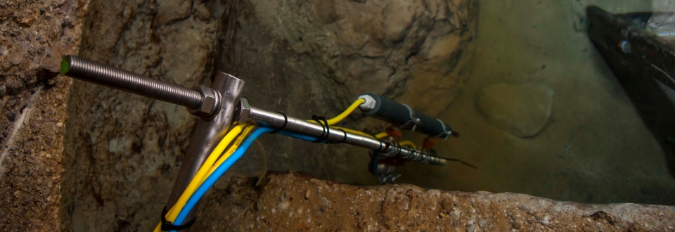
Borehole Temperature Measurements
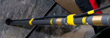
To assess stability-relevant ground thermal conditions we develop and use new temperature measurment methods for deep and shallow boreholes.
Augmented Reality

We use augmented reality methods to playfully impart information on complex issues. Landscapes molded by hand can be augmented with elevation information, topographic contour lines and simulated water.
Isotopic Analysis
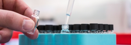
Isotopic analysis delivers valuable information on the age and origin water samples, providing a better understanding of groundwater recharge rates, atmospheric processes, and paleoclimatic conditions. For direct analysis of the stable water isotopes 18O, 17O and 2H we are using cutting-edge laser absorption spectrometry.
more details...